How the Components of Land Survey
Contribute to the Built Environment
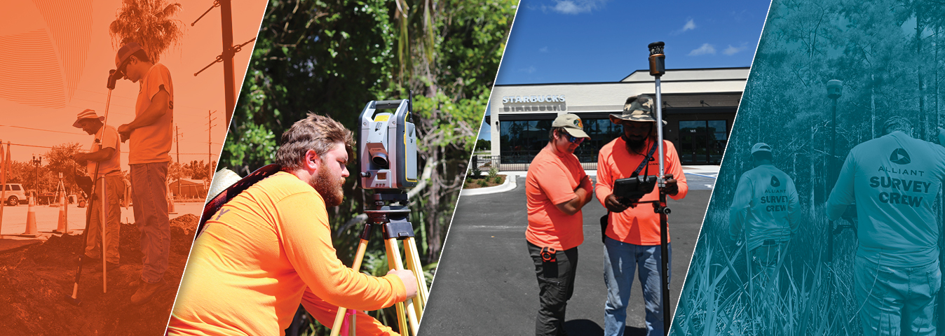
“Not much has changed to the principles of Land Survey, for thousands of years,” says Alliant Vice President of Florida Survey Clayton Walley. To him, land surveying is a craft that remains as important today as it was when it first originated. Surveying is the science of measurement, using angles and distance to geographically place oneself in the correct position on the planet. In this episode of Screen to Streets, we talk to Alliant’s Southeast Region survey team members and learn how crucial land survey is to our projects.
The Basics
Knowing we are working on the correct piece of land is the start of every project. To obtain this information, our survey team completes boundary and topographic surveys. Boundary surveys provide detailed information used for land acquisition and topographic surveys create the information that serves as the basis for architectural and engineering design.
During the construction layout phase of survey, our crews take those intended designs and place them on the project site, identifying the layout of utilities and buildings three-dimensionally. When construction nears completion, as-built collection begins. This phase includes collecting information on all constructed site items via coordinates and elevations. We compile all the information on utilities, hardscapes, and buildings to create an official drawing. When complete the information is submitted to the Engineer of Record or Governing Municipality for approval and inclusion into a Geographic Information System (GIS) for future use.
Find Out More
Surveying is about leaving a trail of proper information. Whether it is used for land acquisition and development, construction, or land re-use 30 years into the future, the property lines Alliant establishes today are retraceable for all time.
For the whole story, click below to view the Screen to Streets video highlighting the work done by Alliant’s Southeast Region Survey crews.

